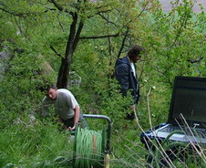
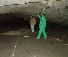
In this locality we found a cave hall in the depth of 20 m. It's approximate location was known before our measurement.
It was discovered by cave divers and they wanted to make the cave part behind syphon trap accessible by tunnel.
We used HRRS method with the higher frequency seismic energy source (120 Hz - 1kHz).
Lower frequencies was cleared out in FD with help of a suitable transfer function.
In the depth section on the right (fall line profile) you can recognize the cave
(approximate dimensions 10 m * 5 m * 5 m) by the reflection polarity symptom - marked by yellow points.
(Simplified)
The main tectonic fault (predisposing the developement of our cave hall) is marked by red wide line in the section.
Inverse reflection areas (i.e. areas of lower wave resistance with probable presence of carst cavities) are marked by yellow points.
(Simplified)
The determined thickness of the cave bottom deposits (by the method of SRS)
was from 8 to 14 m. On the same profile we used also the method of high resolution reflection
seismics (HRRS) with the step of reflection point 0.5 m and shot step from 2 m to 4 m.
On the depth section on the left we can see interesting reflection from the depth approximately 30 m.
It could be caused by carst cavity...
(Simplified)